19-05-2016 04:58 PM CEST

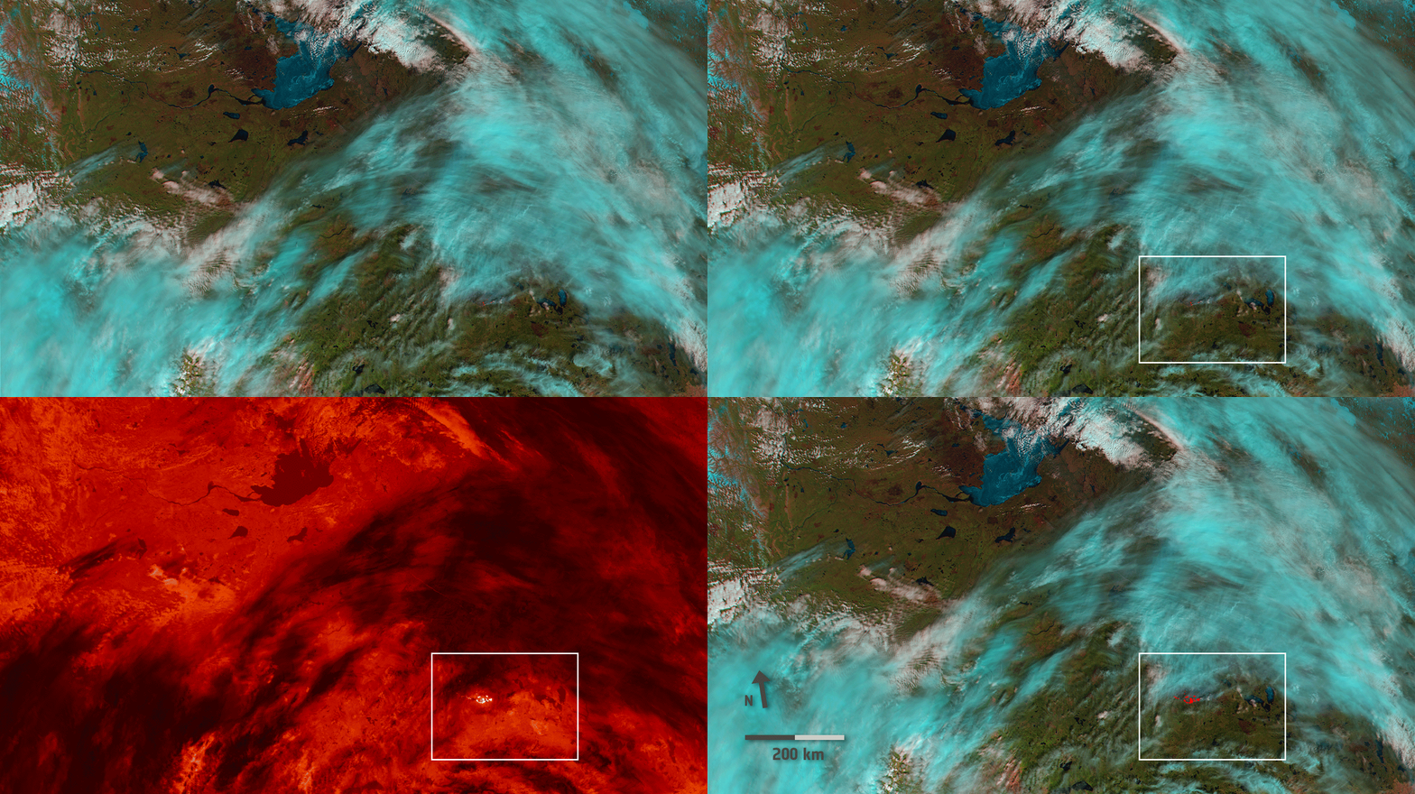
Wildfires have been raging in Canada's Alberta province for nearly three weeks, causing widespread destruction and forcing thousands of people from their homes. As the blaze grows and shifts, satellites are tracking its movement.
You are subscribed to Observing the Earth for European Space Agency.
Having trouble viewing this email? View it as a Web page.
This e-mail alert was generated automatically based on your subscriptions. Some updates may belong to more than one category, resulting in duplicate notices.
| Questions Read our FAQ |
| STAY CONNECTED: | |||||||
SUBSCRIBER SERVICES:
Manage Preferences | Delete profile | Help
| This message has been sent to mantiskhiralla@gmail.com by ESA Web Portal, ESRIN, 00044 Frascati (RM), Italy |


No comments:
Post a Comment