


24-03-2017 03:04 PM CET
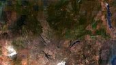
With the pair of Sentinel-2 satellites now in orbit, users are looking ahead to mapping global land cover at 10 m resolution.
Having trouble viewing this email? View it as a Web page.
| This message has been sent by ESA Web Portal, ESRIN, 00044 Frascati (RM), Italy |
No comments:
Post a Comment