


03-10-2017 03:35 PM CEST
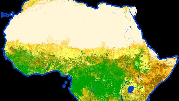
From the barren Sahara to lush jungles, the first high-resolution map classifying land cover types on the entire African continent has been released. The map was created using some 180 000 images from Sentinel-2A
Having trouble viewing this email? View it as a Web page.
| This message has been sent by ESA Web Portal, ESRIN, 00044 Frascati (RM), Italy |
No comments:
Post a Comment