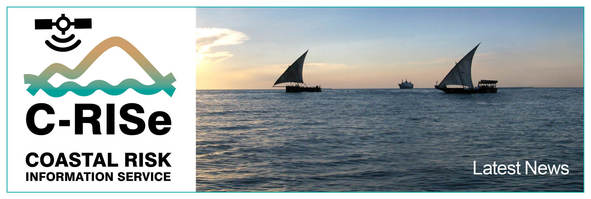
| Thank you for subscribing to receive news from the Coastal Risk Information Service (C-RISe) project. C-RISe is funded by the UK Space Agency (UKSA) under the International Partnership Programme. Now entering its second phase, the project will deliver, through an international partnership with Mozambique, Madagascar and South Africa; access to satellite-derived data on sea level, wind speed and wave heights. The goal is to enable the use of this information to improve socio-economic resilience to coastal hazards associated with sea level changes such as inundation, floods, storm damage, wetland loss, habitat change, coastal erosion and saltwater intrusion. C-RISe is a development of Sea Level Space Watch (SLSW), a project funded by the UK Space Agency (UKSA), which delivers information on sea level trends at the UK coast, enabled by recent advances in coastal altimetry data processing. C-RISe will expand this service to provide additional data sets (wind and wave climatologies), and increased temporal and spatial coverage; 24 years of previously unavailable satellite observations, over the regional area of Mozambique, Madagascar and South Africa. 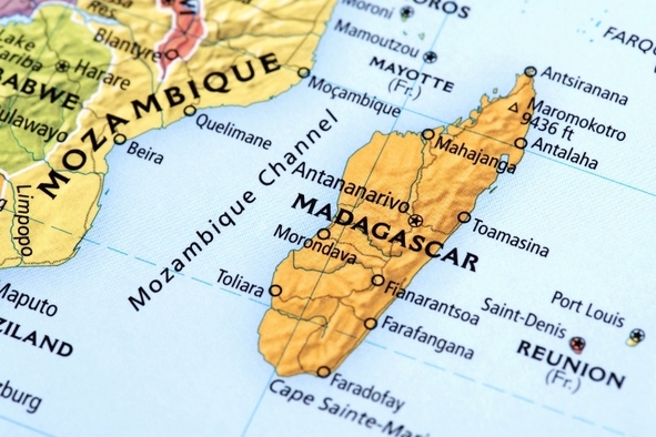 | 


No comments:
Post a Comment